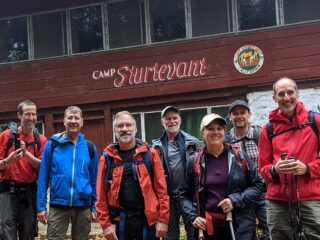
Even hikers have meetings, so here’s the news from the Conservancy’s annual meeting, including the “Six Eras of Sturtevant” and speculations about re-opening in 2024.
The Quick-Hike Version
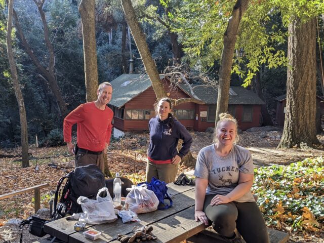
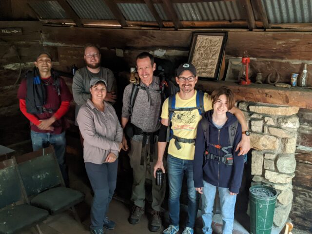
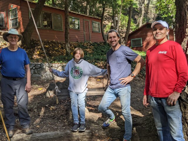
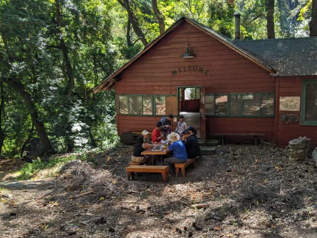
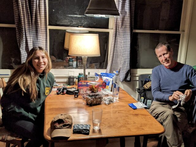
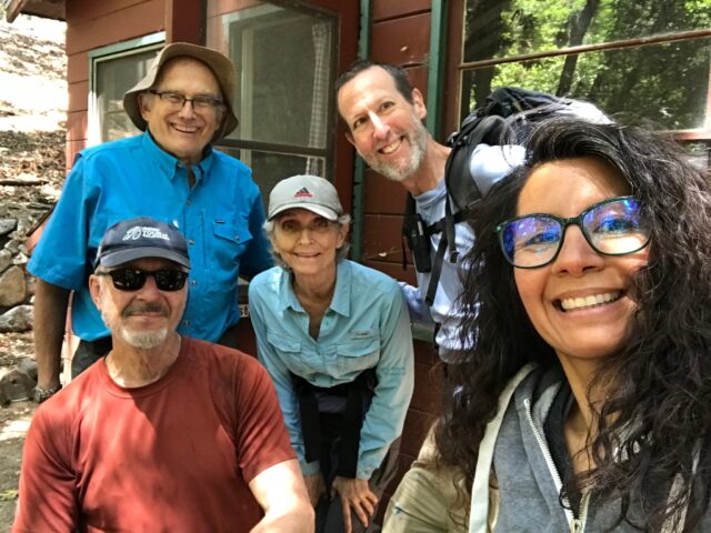
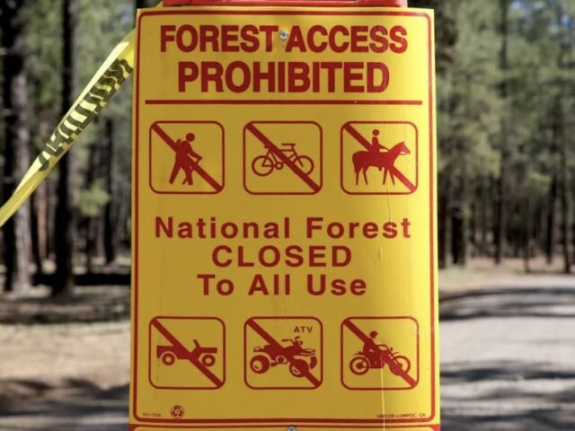
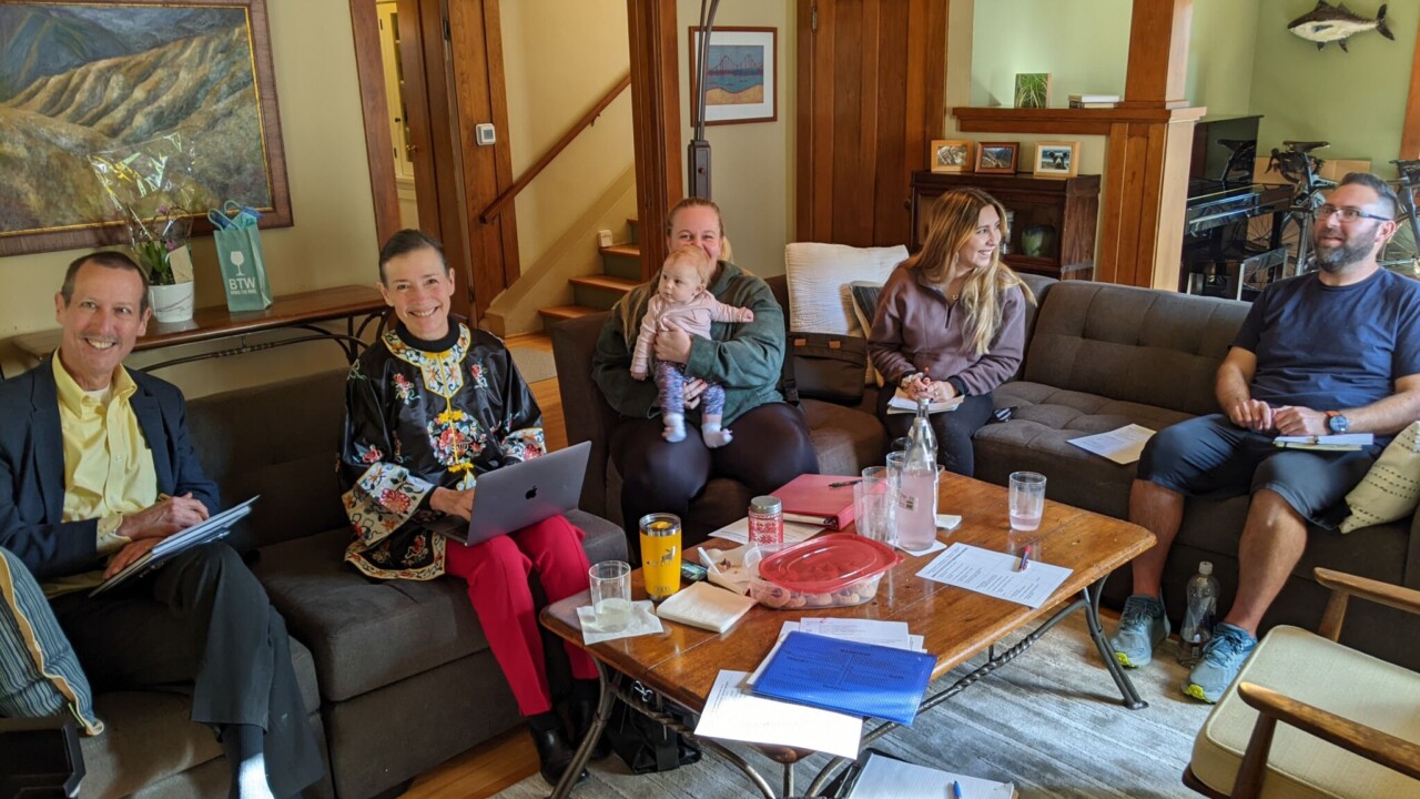
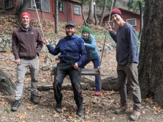
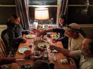
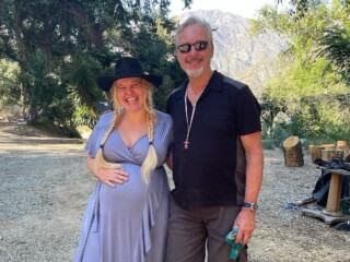
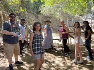
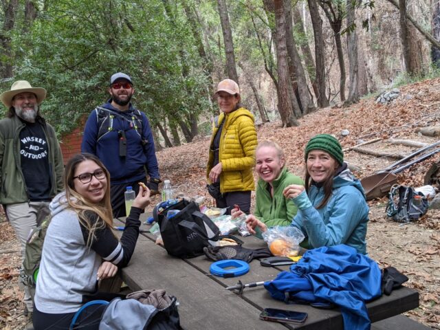
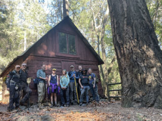
The Conservancy’s seven directors met Jan.28th at the Adams Pack Station to elect officers, look into the future, and figure out what to do next. Easily the biggest item on the agenda was “if the Forest Service opens the Canyon in 2024, how do we open for guests?”
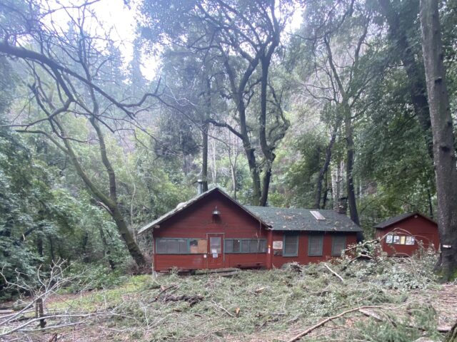
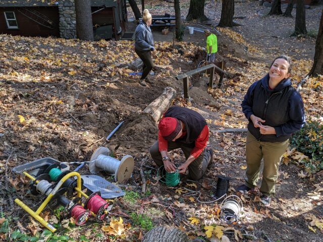
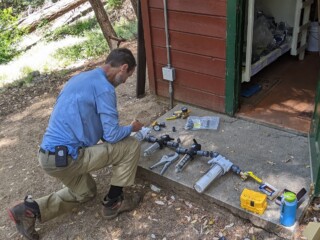
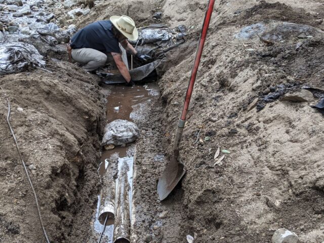
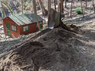
Since the 2020 fire, the main job has been on-site repair and recovery. But being shut down also paused online functions like reservations and accounting systems. That created an opportunity to re-think and rebuild those services. With opening on the horizon, that work has moved up on the To-Do list.
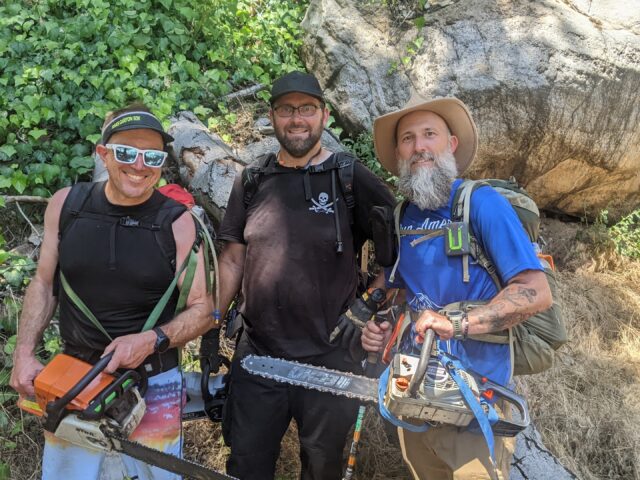
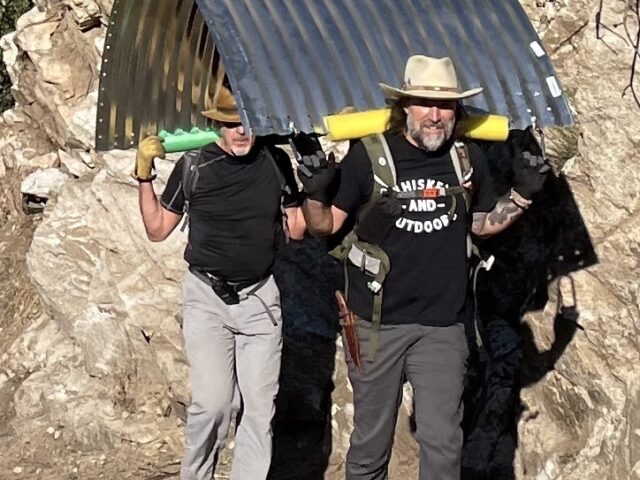
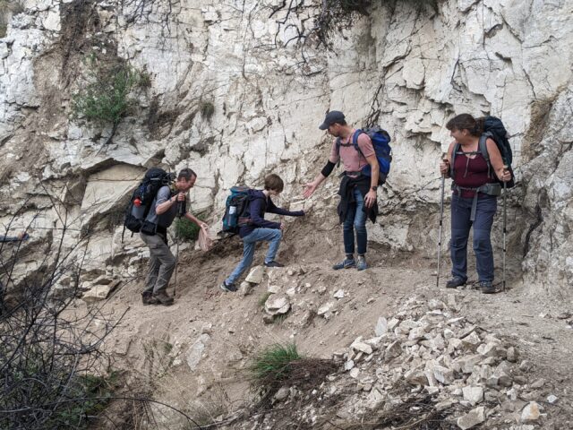
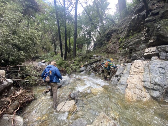
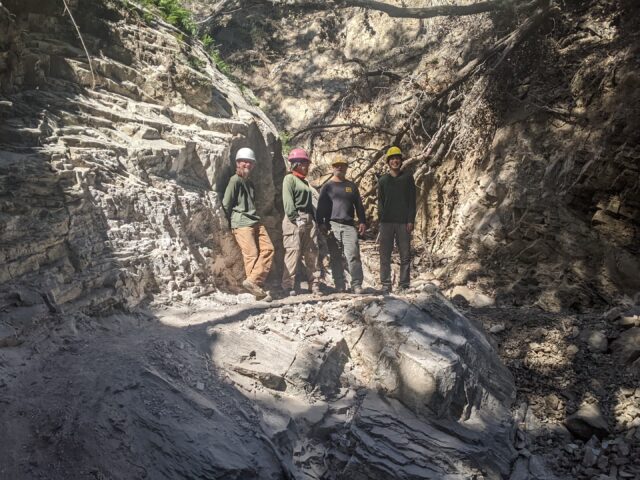
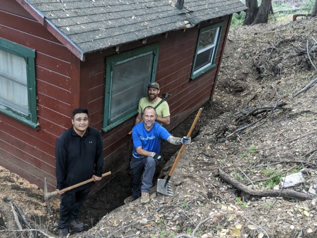
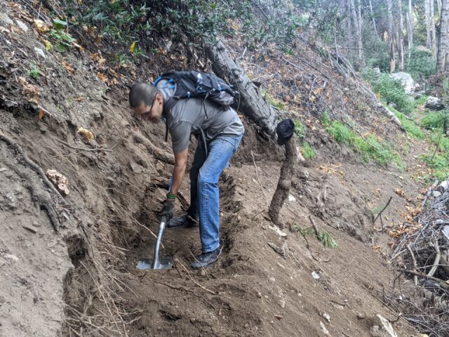
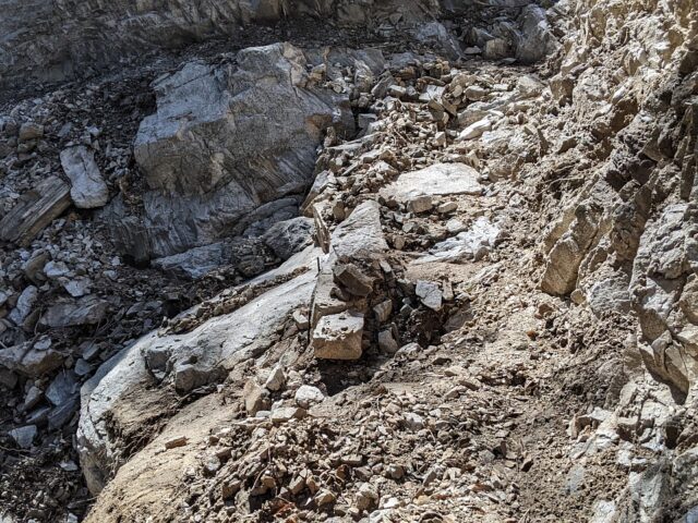
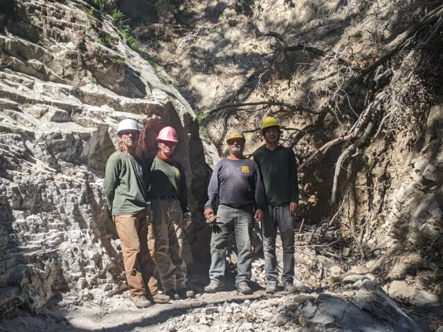
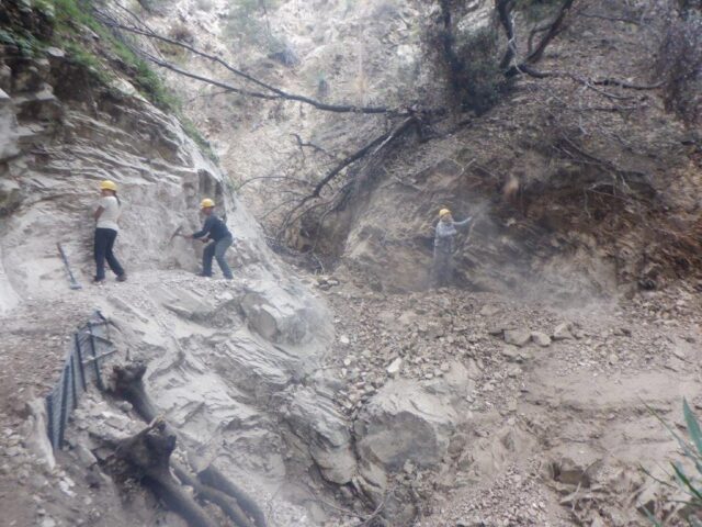
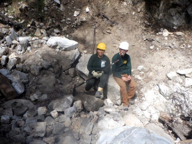
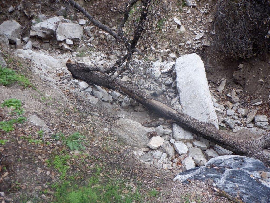
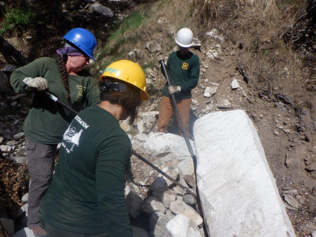
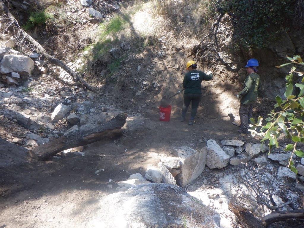
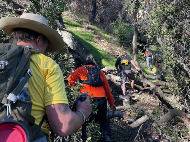
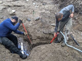
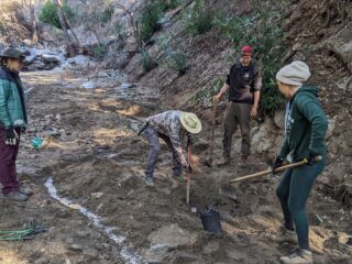
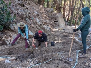
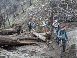
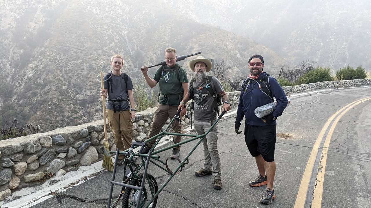
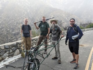
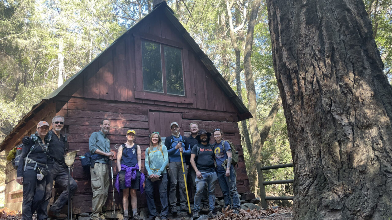
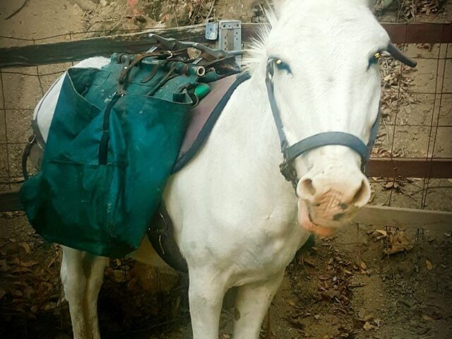
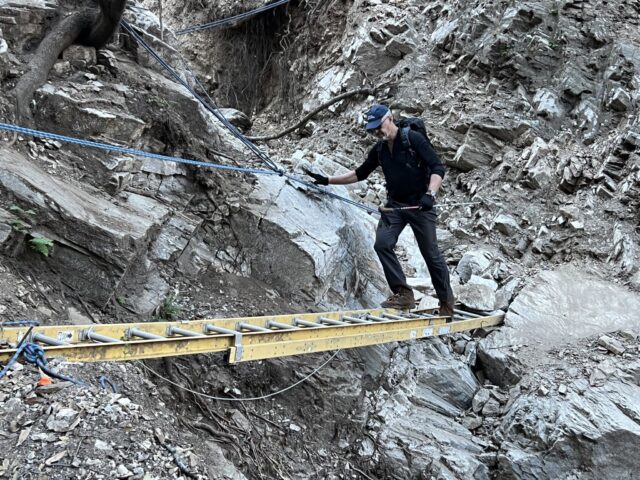
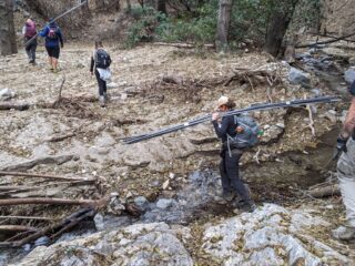
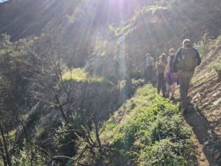
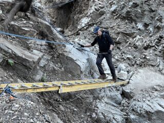
Still, the trail is at the top of the list: thanks to the superheroes of Restoration Legacy Crew, the path is almost clear for the burros to get to Camp. When they do, the final parts and materials will start arriving for rebuilding the water system, and water will be the top priority for opening to the public.
So pretty much everything both in-Camp and on-line has jumped to the top of the Must-Do-Right-Away-Now list: time to lace up all boots!
The Six Eras of Sturtevant
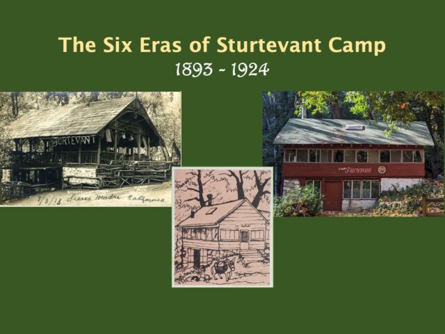
There’s so much to be done almost immediately that the Board’s “get’er done” Directors were tempted to jump in boots first. Instead, the annual meeting started with a bigger picture of where are we, and where are we going? Taking a cue from Taylor Swift’s “Eras Tour”, here are the Six Eras of Sturtevant.
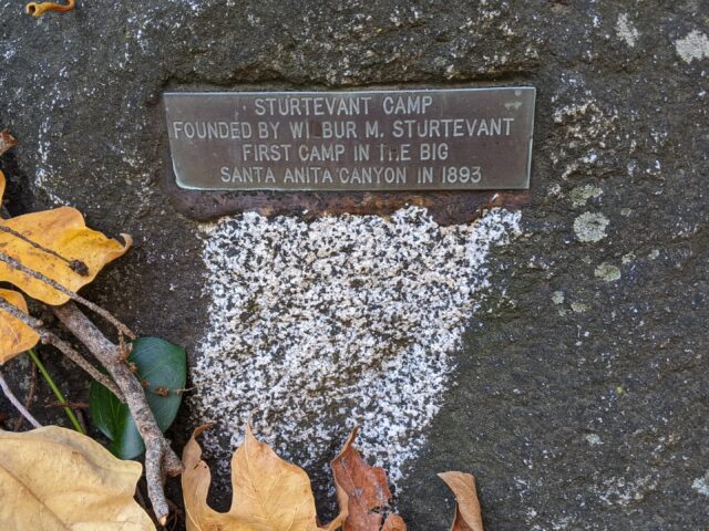
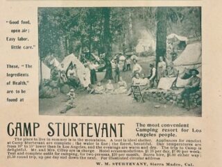
- 1893 – 1910 The Founding Era: Wilbur establishes the Camp and builds it to national renown; after a stroke levels him, he later passes at LA’s Veteran’s Home in 1910.
- 1911-1946 Transition Era-I: The Camp passes through several hands and often stands empty and for sale for many years. After the last private owner is arrested for misconduct, the Forest Service seizes the property and puts it up for sale under a public permit.
- 1947-2015 The Methodist Era: Riding the wave of post-WWII growth, the regional Methodist Church buys the Camp. They build up the Camp with a commercial kitchen, bathhouse and bunkhouses, and for nearly seventy years sustain year-round operations for private and public use.
- 2011-2020 Transition Era-II: With the mutual decline in youth camping and mainline denominations, the Church moves to close and sell the Camp. A volunteer Boot Squad steps up to sustain the Camp until the Friends of the San Gabriels purchases the Camp in 2015; in 2016 the Sturtevant Conservancy is formed to take on stewardship of the Camp as a public non-profit.
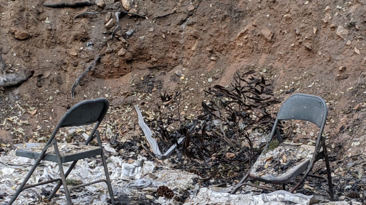
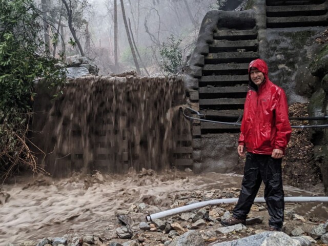
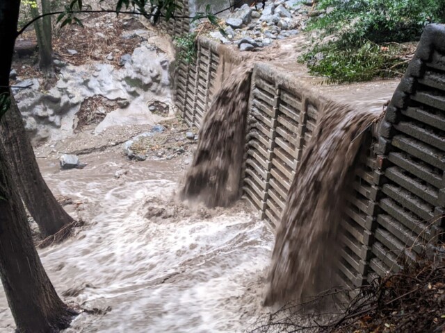
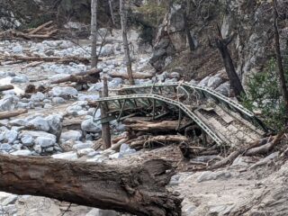
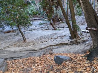
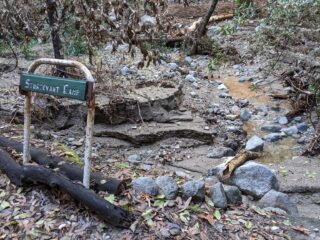
- Fall 2020 – Spring 2024 Fire & Rain & Recovery Era: a time marked decisively by the Bobcat Fire and subsequent weather impacts that equaled if not exceeded the damages and complications of the Fire.
The Sixth Era – Renaissance: 2025 – 2043
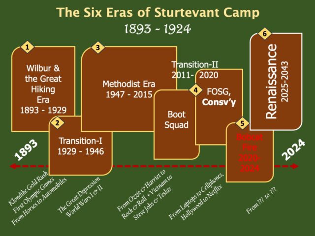
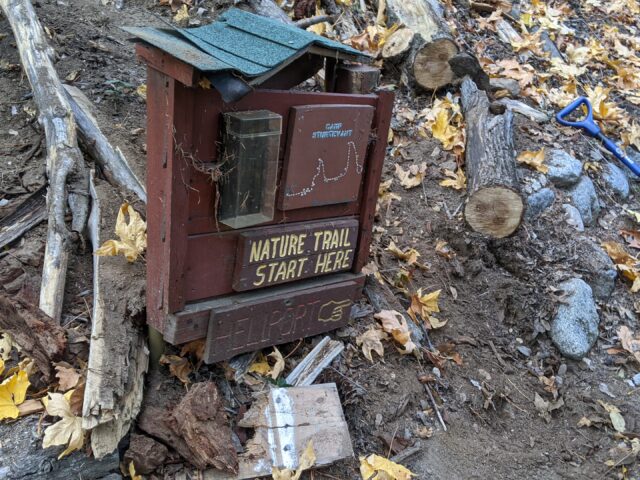
Once Sturtevant re-opens, the Conservancy is aiming for a renaissance of the Founding Era, renewing the Camp to be the uniquely historic center of wilderness appreciation, education and inspiration in the San Gabriels for greater Los Angeles.
The Renaissance Era will culminate in 2043, when everyone joins in celebrating the 150th anniversary of Wilbur setting up tents near the running waters of the upper Big Santa Anita, and welcoming sturdy hikers for many more generations to come.
Officers Elected, Classes Filled
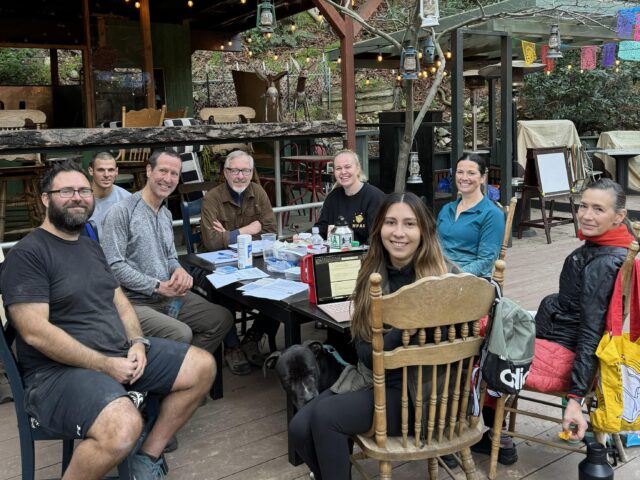
In 2023, the Board adopted an amplified set of Bylaws; these are the map and compass for the Board’s navigation of its duties. During the 2024 Annual Meeting, the Board started to enact the details of those Bylaws.
This included electing the following officers: Gary Keene, President/CEO and Chair of the Board; Sarah Barron, Vice-President and CFO; and Kelly Davidson, Recording Secretary. The Board also assigned the titles and work of Treasurer to Jennifer Berry, and of Bookkeeper to Kelly Davidson. In addition, members were distributed into classes with successive 3-year terms of service.
The Board members are also organized internally around the key managerial functions: site/operations, administration/finance, guests/hospitality and general supervision. This spreads the work equitably among the Directors as a team. For a closer look, go to https://www.sturtevantcamp.com/who-we-are/
Stuff to Figure Out & Look Forward To
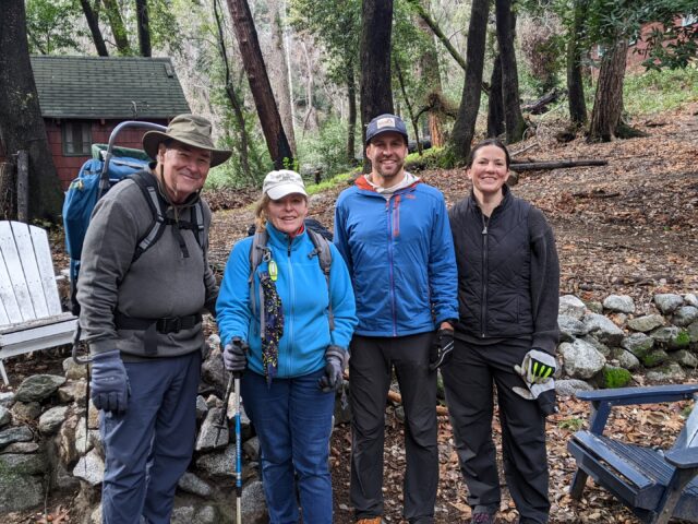
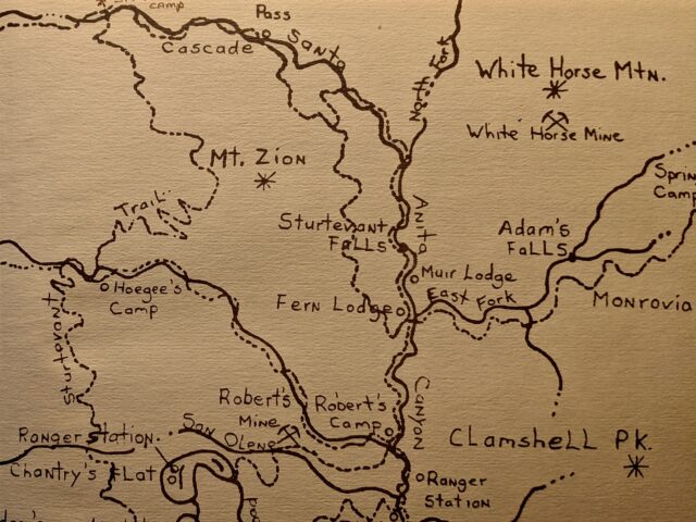
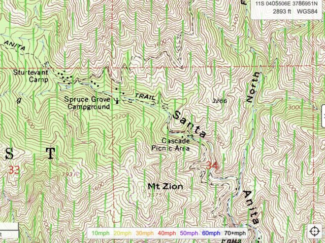
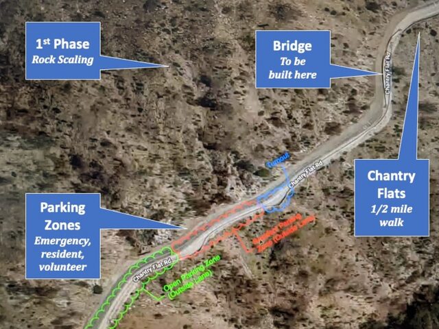
The Camp is a registered non-profit, and a business that needs to generate income. What business is that? Sturtevant is basically a “hostelry”, a ‘place of lodging in the country’. But what a place! There’s really no equivalent for comparison, especially when you consider the Camp’s wilderness proximity to people—downtown Los Angeles is 23 miles from the Chantry Flats trailhead.
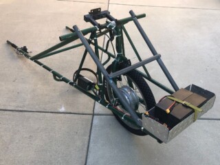
That means it is available to millions close by, except for that 4.2 mile hike in and out! Which is also how everything comes and goes: via the trail, carried on the backs of a people and burros.
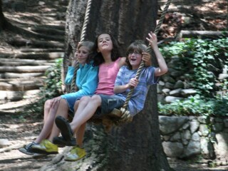
So what should be the price for maintaining a hot shower at the end of such a trail? And a flush toilet? And built roof and walls above and around, plus wall heaters, mattresses, pillows, and OBTW a full kitchen, refrigerators, potable water and more (how about that Big Swing?)
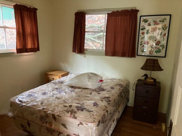
All that said, staying at Sturtevant is not glamping: no hot tub or chocolates on those pillows (the mice would get them first anyway.) Camp is historic, which is to say rustic, and even with all the planned improvements, it will stay rustic; not only because of its location, but because that is essential to its authenticity and charm.
Bottom line, the Board has set aside a smaller group to analyze what would be reasonable rates to cover costs and plan for the future, and then how to market all of it effectively. Public feedback is totally welcome here in the comments, so speak up and help the Camp find and serve the next generation of guests.
NEXT BIGCONESPRUCE BLOG
Maybe? Scenes of the Adams Pack Train burros hauling into Camp!
Sturtevant Camp is owned and operated as a non-profit for the benefit of the public by the Sturtevant Conservancy Board (https://www.sturtevantcamp.com/who-we-are/).
